Flood Frenzy

Project Info

Auld McDonnell Had a Farm thumbnail

Team Name


Auld McDonnell Had a Farm


Team Members


Tom and 1 other member with an unpublished profile.

Project Description


We have created a fun online game whose objective is to protect a town's houses from damage due to flooding.

We have also created a simulation mode where random mountainous terrain can be generated, and floods can be simulated.

Game Mode

Our game allows the user to build walls to protect houses from flooding as water levels rise. Our game keeps track of high scores to encourage competition among players and encourage sharing of links to the game on social media etc.

We added a cast of characters to the game who comment on relevant issues such as climate change in an entertaining way. We hope this feature will contribute to the game's popularity, and encourages conversations about the effects of climate change, mitigation strategies, and preparedness.

Simulation Mode

Our simulation mode allows the user to simulate the effect of rainfall on any point within the map. The path the rain will take as it flows downhill is displayed on the map. By experimenting with this feature, the user can discover how streams and rivers form from rainfall in mountainous regions. The user can also click a button to make the flood recede in steps.

Our game and simulation modes also teach players how to interpret topological maps.

Contributions

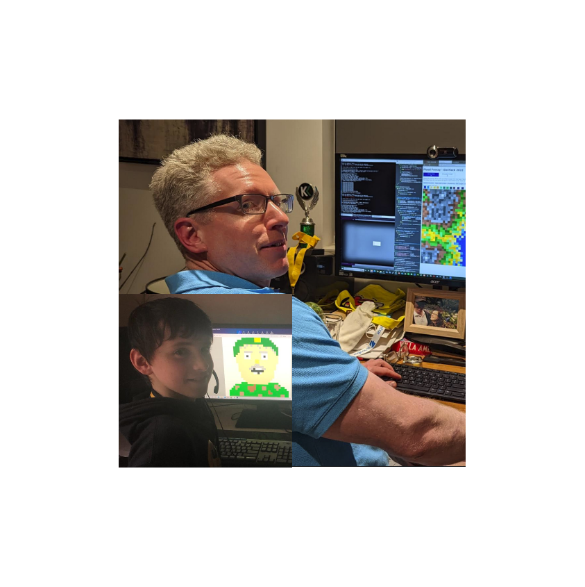
Tom did the coding, and Arran did the artwork and helped a lot with game design and testing. We made a great team :-)


#game simulation flooding mitigation preparedness climate-change

Data Story


The idea for our game developed as we browsed data sets concerning rainfall and flooding in Tasmania.

We considered using actual topographical data for the terrain in our game, but we decided going down that path would take too long, and would probably result in a less enjoyable game. The purpose of our game is to generate interest and prompt conversations about the effects of climate change, flood risks, and mitigation strategies. We decided that this purpose was better served by having randomised, procedurally generated topographical maps.


Evidence of Work

Video

Homepage

Project Image

Team DataSets

Freight Vehicle Congestion in Australia's 5 Major Cities

Description of Use We browsed this data and other data on the National Freight Hub because we were interested in route-planning, and saw the possibility of route-planning being a feature in our flood simulation game. This data set only served as inspiration during the exporation of ideas phase of our project.

Data Set

City of Hobart Flood Data with 5%

Description of Use We looked at this data and considered using it in our project. We then decided however to procedurally generate terrain data instead. So this data set has served as an inspiration for the ideas in our project.

Data Set

City of Hobart Flood Data with 10%

Description of Use We looked at this data and considered using it in our project. We then decided however to procedurally generate terrain data instead. So this data set has served as an inspiration for the ideas in our project.

Data Set

City of Hobart Flood Data with 20%

Description of Use We looked at this data and considered using it in our project. We then decided however to procedurally generate terrain data instead. So this data set has served as an inspiration for the ideas in our project.

Data Set

Challenge Entries

Flood Risk: Understanding the impact of climate change on extreme weather events in Hobart

Hobart, Tasmania is prone to extreme weather events, especially flash flooding. How can we better understand the risk of flooding and build a robust model to illustrate the increasing regularity and intensity of flooding? What would the impact of coincident events look like? How can we develop a collaborative flood warning and alert system for Hobart?

Go to Challenge | 7 teams have entered this challenge.

Best Creative Use of Data in Response to ESG (AU)

How can you showcase data in a creative manner to respond to ESG challenges? How can we present and visualise data to stimulate conversation and promote change?

Go to Challenge | 31 teams have entered this challenge.

Flood, fire and the future: the road to resilience

Help transport planners find and predict which roads will be blocked or damaged in the next flood or bushfire

Go to Challenge | 11 teams have entered this challenge.