Water information without borders
How do we better bring together information about our water systems across states borders?
Go to Challenge | 8 teams have entered this challenge.

WynTree Team
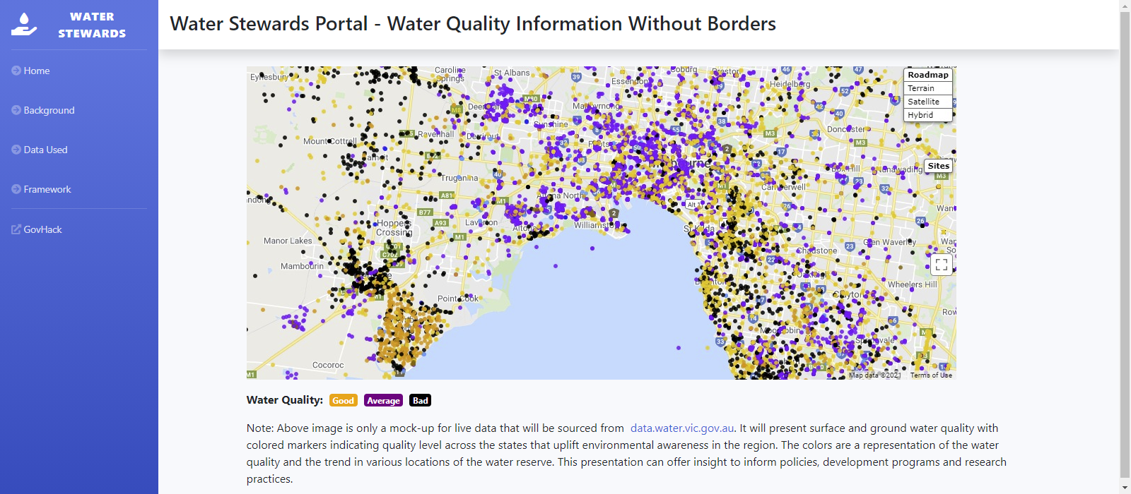
Data on water quality can be collected Victoria Water Measurement Information from Victoria. The parameters in the data set include pH, turbidity, minerals. The project uses the model tool for water quality index (WQI) that uses aggregation method converting the water quality data into a single value called index. This aggregated value has been a practice to evaluate surface and ground water quality where in this project we rely on the Victorian water quality criteria.
The surface water and groundwater data contained in Water Monitoring Information System is collected through partnerships with 41 organisations. Real time data on the surface water (water level, flow and water quality) and groundwater (water level and water quality) which is less than one hour old, can be accessed and downloaded from Water Monitoring Information System.
Data and information on community water monitoring is available: www.vic.waterwatch.org.au
Description of Use The location of stations is essential for presenting the indices at the right coordinates in a map.
Description of Use Water Quality data is the main input for calculating the indices displayed in our portal.
Go to Challenge | 8 teams have entered this challenge.
Go to Challenge | 7 teams have entered this challenge.