Community design for flood mitigation
Jurisdiction: Aotearoa New Zealand


How might we use data to identify and improve water management for our regions?
Help our cities manage flooding better
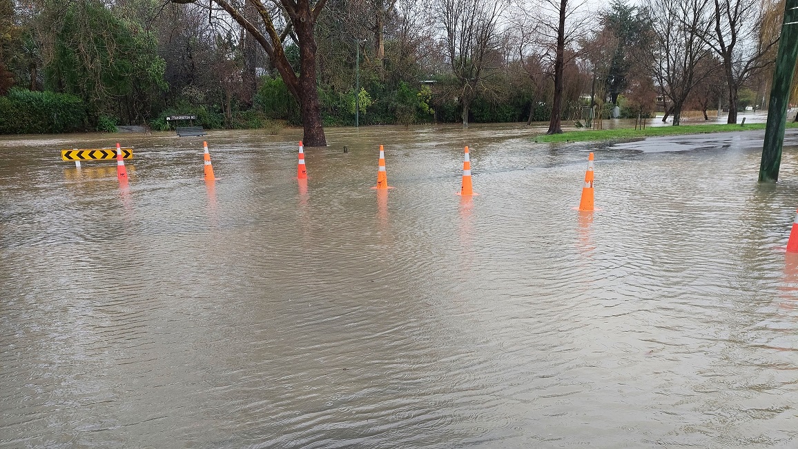
Flooding causes damage to properties, affects insurance, causes travel chaos, and creates uncertainty to how the city operates.
There are several factors that can cause flooding:
• Urbanisation has resulted in less canopy (trees and green space) to absorb water when it rains.
• More buildings means more roofing which allows rain to run off and flow onto the streets and drainage systems.
• When there is too much rain it overloads the city’s drainage system.
• Home downpipes can be clogged with leaves and cause blockages on properties.
How might we use data to identify and improve water management for our regions?
Areas to be creative in:
Water storage and rainwater tanks
• How might we optimise rainwater collection and storage within our communities?
Optimised travel routing around a flood affected city
• What areas are of the greatest risk of flooding?
• How might we optimise travel routes around flooded areas?
What other ideas do you have for managing community flooding?
• Surprise us!
Eligibility: Use any open datasets, eg. City LiDAR topography heights, City flood risk areas, Aerial Photography
Entry: Challenge entry is available to all teams in Aotearoa New Zealand.